.png)
Destin Waterway Explained: What Visitors Need to Know

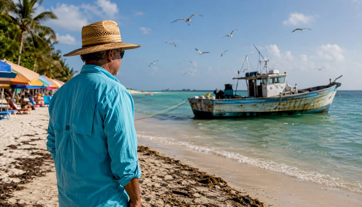
The Destin Waterway is the connected estuarine corridor formed by the Gulf of Mexico shoreline, East Pass, Destin Harbor, Choctawhatchee Bay, and the shallow sandbar known as Crab Island, all running along a narrow Florida peninsula in Okaloosa County. City of Destin planning data puts the total shoreline at roughly 27 miles: 6.71 miles of Gulf coast, 10.55 miles bordering Choctawhatchee Bay, 8.72 miles along Old Pass Lagoon, and 1.58 miles along East Pass. Ecologically, the waterway functions as an estuarine corridor tied to the broader Choctawhatchee watershed, where salinity and water clarity shift with river discharge and rainfall. For visitors, the Destin Harbor District is the social and economic center of it all, anchored by a quarter-mile boardwalk, charter boats, and what Destin calls the world’s largest licensed fishing vessel fleet.
Shoreline snapshot: 6.71 mi Gulf coast · 10.55 mi Choctawhatchee Bay · 8.72 mi Old Pass Lagoon · 1.58 mi East Pass
East Pass is the single inlet connecting the Gulf of Mexico to Choctawhatchee Bay, and its role is hard to overstate. Without it, the bay would have no direct tidal exchange with the open Gulf. The pass is also not purely natural: local residents dug it by hand during a 1929 storm, and an inrush of water widened it within hours. It was significantly upgraded in 1951 and 1977, and it was dredged multiple times over several decades by the U.S. Army Corps of Engineers to stay navigable. Today, East Pass remains the gateway for every charter boat, recreational vessel, and fishing skiff moving between the harbor and the Gulf.
Choctawhatchee Bay itself is a stratified estuarine system with low tidal energy and limited natural flushing. That sensitivity is why the City of Destin and the Northwest Florida Water Management District installed the Destin Harbor Pumping Facility in 1992, an 84-inch underground pipe with an intermittent pump designed to push water through the harbor and improve circulation. The Destin Harbor-Hogtown Bayou sub-basin, covering approximately 36,456 acres, was designated a priority watershed for exactly this reason.
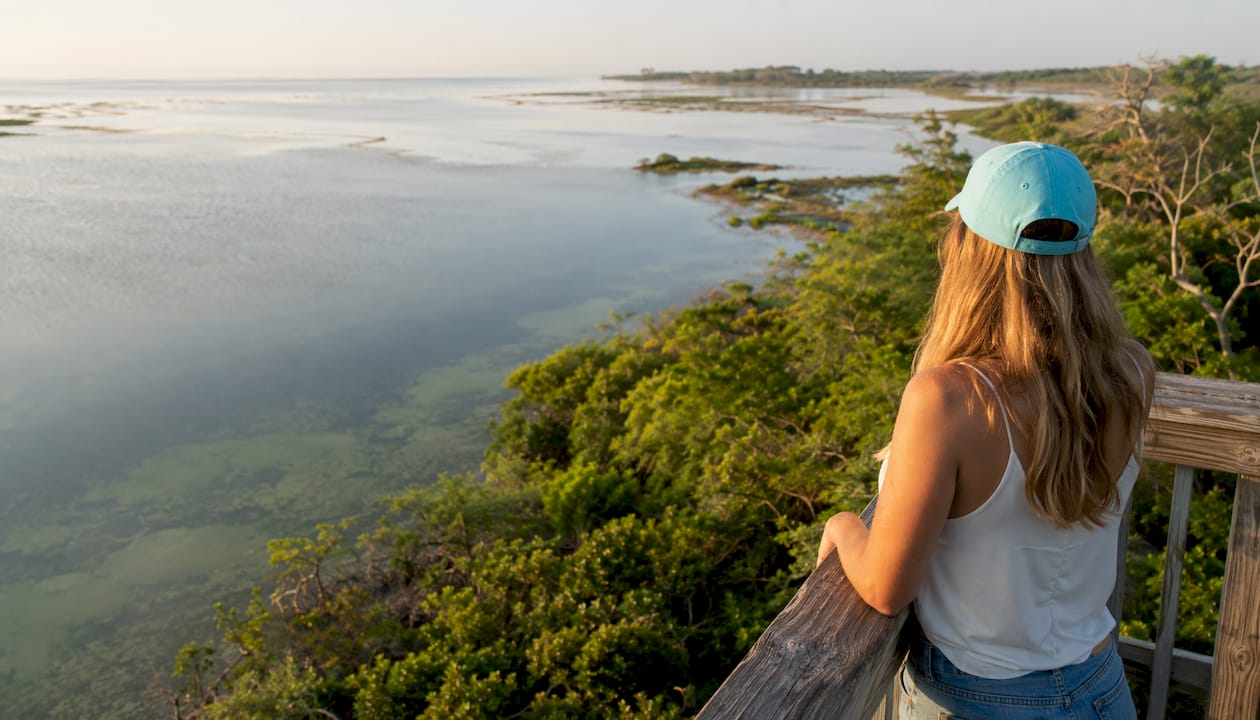
Crab Island sits just north of the East Pass jetty. It started as two dredge-spoil islands created when the Army Corps cleared the pass, and it has since eroded into a shallow sandbar that disappears at high tide. That sandbar is now one of the most visited spots on the entire Emerald Coast: boaters anchor in the waist-deep water, float in the current, and spend entire afternoons there. For sightseeing tour options that include Crab Island, tour length and amenities vary widely, so comparing operators before you book saves real money.
The Harbor District boardwalk ties everything together for visitors on foot, showcasing many private boat charter in Panama City Beach options to build your perfect day on the water. Restaurants, live entertainment, charter-boat docks, and water-sports rentals line the quarter-mile stretch. Destin styles itself “The World’s Luckiest Fishing Village,” and the harbor is where that identity lives. If you want to understand the waterway’s character in one afternoon, walk the boardwalk, watch the charter fleet return, and look south toward East Pass.
Table of Contents
Crab-island-tours makes a Crab Island day easy
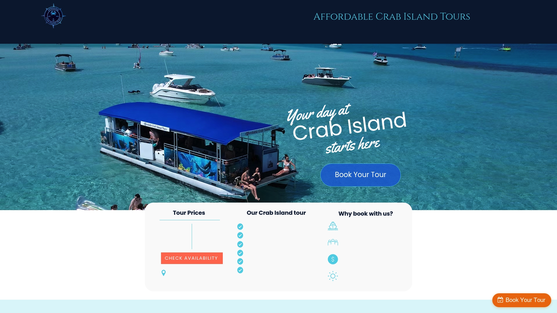
Crab-island-tours runs a 4-hour guided tour to Crab Island with floats and an onboard restroom included, captained by locals who know the waterway well. You show up, they handle the boat. It’s a practical, budget-friendly option for families, couples, and groups who want the Crab Island experience without renting gear or figuring out navigation on their own. Book your spot and skip the logistics entirely.
Key Takeaways
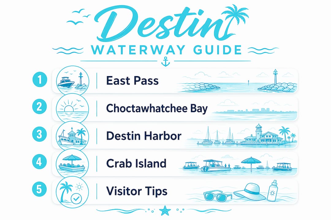
The Destin Waterway is an estuarine corridor where East Pass, Choctawhatchee Bay, Destin Harbor, and Crab Island form a single connected system that drives both the local ecology and the visitor economy.
Point | Details |
Total shoreline | City of Destin data counts roughly 27 miles across Gulf coast, bay, lagoon, and East Pass. |
East Pass role | The only Gulf-to-bay inlet, hand-dug in 1929 and dredged multiple times to stay open. |
Estuarine sensitivity | Choctawhatchee Bay has low tidal flushing; a pumping facility installed in 1992 aids circulation. |
Crab Island origin | A dredge-spoil sandbar north of the East Pass jetty, now the waterway’s top recreational anchor. |
Crab-island-tours | Offers a 4-hour Crab Island tour with floats and restroom onboard for a stress-free visit. |
Recommended
Comments