.png)
Is There Red Tide at Crab Island Right Now?

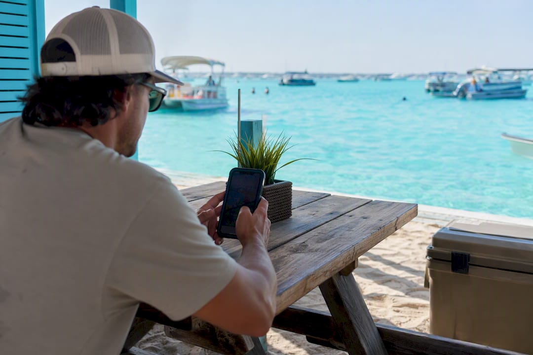
Crab Island isn’t under a confirmed red tide bloom every day of the year, and conditions can flip within a week depending on wind and current. The fastest way to get today’s answer is the FWC daily sample map, which pins actual water samples near Destin and Okaloosa County. Before you load the cooler, do three things:
Check the FWC map for the most recent sample point near Destin/Okaloosa County.
Call the FWC red tide status hotline for a recorded regional summary.
Note the cell count: anything above 100,000 cells per liter counts as a bloom.
Pro Tip: A sample from three days ago tells you less than you think. Red tide moves with wind and current, so always check the sample date, not just the color-coded pin.
Key Takeaways
Safe Crab Island visits depend on checking same-day FWC sample data, avoiding crab hepatopancreas, and staying alert to respiratory symptoms if a bloom is active nearby.
Point | Details |
Check same-day data | The FWC sample map updates daily; a three-day-old reading can miss a fast-moving bloom. |
Know the bloom threshold | Cell counts above 100,000 per liter mark bloom conditions likely to cause irritation. |
Crab meat is generally safe | Eat only crabs alive and healthy at harvest, and always skip the hepatopancreas. |
Watch for wildlife stress | Sluggish crabs or fish kills signal you should report, not touch, affected animals. |
Book with a monitoring crew | Crab-island-tours checks conditions daily and reschedules trips when counts turn risky. |
Table of Contents
Understanding Red Tide Near Crab Island and the Gulf Coast
Red tide is a harmful algal bloom, usually caused by the microorganism Karenia brevis, which multiplies fast enough to discolor water and release toxins into the air and sea, according to NOAA’s NESDIS program. It isn’t unique to Destin. Blooms form offshore in the Gulf of Mexico and get pushed toward shore, or held offshore, by wind direction and coastal currents. That’s why a bloom sitting 20 miles off Panama City can reach Destin’s beaches in days, or drift the other way and never touch Crab Island at all.
A handful of agencies track this so you don’t have to guess:
FWC runs the daily statewide sampling program and status map.
NOAA/NESDIS explains bloom science and helps forecast movement.
Florida Department of Health issues public health guidance tied to bloom severity.
CDC covers respiratory and exposure risks for vulnerable groups.
Knowing who to trust matters more than knowing every technical detail. When these four sources agree conditions are clear, you can plan your Crab Island trip with real confidence instead of guessing based on a friend’s Facebook post.
How to Check Current Red Tide Conditions Before You Go
Open the FWC sample map and zoom into Okaloosa County. Look for the most recent pin near Destin’s pass and Crab Island itself, not just the county average.
Cross-check with satellite and trajectory tools. USF’s HAB trajectory tracking models where an offshore bloom is likely to drift over the next few days, which is useful if you’re booking a tour a week out.
Call the FWC red tide hotline for a recorded update. Listen specifically for county-level mentions of Destin or Okaloosa, since statewide recordings often bundle multiple regions together.
Read the cell count, not just the color. Very Low runs up to 10,000 cells per liter, Low up to 100,000, Medium up to 1,000,000, and High above that. Medium and High counts are where respiratory irritation and fish kills become likely.
Impacts are patchy by nature. NOAA’s Gulf of Mexico HAB forecasts stress that a red tide alert for the broader Panhandle doesn’t mean every beach, or every sandbar, is affected the same way.
Pro Tip: Check yesterday’s wind direction, not just today’s. Onshore winds over the past 24 to 48 hours are what typically push a bloom toward Crab Island, even if the water looks clear when you check it.
What Red Tide Can Do to Your Health at the Beach
Aerosolized red tide toxins can get kicked into the air by wave action, and breathing them in causes real, immediate symptoms for some people. The CDC’s harmful algal bloom guidance lists the most common ones:
Eye irritation and watering
Coughing and a scratchy throat
Shortness of breath, especially in people with asthma or COPD
People with existing lung conditions, young children, older adults, and pregnant people face higher risk from airborne exposure and should be more cautious about spending hours on an exposed sandbar during an active bloom. If you start coughing or your eyes sting while you’re out at Crab Island, move upwind first. Rinse your eyes with fresh water if you have it on board, and head back to shore if breathing gets harder rather than waiting it out. The Florida Department of Health recommends seeking medical care if respiratory symptoms don’t ease once you’re away from the water.
Is It Safe to Eat Crab Meat From Crab Island Waters?
Yes, mostly, with one important exception. Crabs, shrimp, and finfish that are alive and healthy when caught are generally safe to eat during a red tide, according to University of Florida IFAS Extension guidance. The toxin doesn’t concentrate meaningfully in muscle tissue the way it does in filter feeders like oysters and clams, which is why Florida shuts down shellfish harvesting long before it touches crab fishing.
The exception matters. Never eat the hepatopancreas, also called the tomalley, the yellowish organ tissue in the crab’s body cavity where toxins can build up. And never harvest or eat any crab, fish, or shellfish found dead or visibly distressed on shore, regardless of how fresh it looks.
Sublegal stone crabs exposed to higher-toxin red tide conditions in a Mote Marine Laboratory experiment ate significantly less food and had substantially lower survival over nine days compared to the control group.
That finding, from Mote Marine Laboratory’s stone crab research, is also why wildlife officials discourage harvesting crabs that seem sluggish or stressed during a bloom. It isn’t just a food safety issue. It’s a conservation one, since crabs already weakened by toxin exposure have a much harder time surviving the added stress of harvest and handling.
Why Stressed Marine Life Is a Red Tide Warning Sign
Fish kills are the most visible red flag: dead mullet, pinfish, or catfish washing up along the shoreline or floating near the sandbar. Less obvious are the crabs. Stone crabs and blue crabs exposed to toxic Karenia brevis can show impaired reflexes, reduced feeding, and higher mortality, the same pattern Mote researchers documented in controlled trials. Sea turtles and seabirds can also show signs of distress during severe blooms.
Multiple dead fish in one area, especially different species together
Crabs moving slowly or not retreating when approached
Birds or turtles acting disoriented near the water’s edge
Pro Tip: Don’t touch or relocate stressed wildlife, even with good intentions. Photograph it, note the location, and report it. Handling adds stress an already weakened animal may not survive.
Planning a Crab Island Trip When Red Tide Is a Possibility
Check the FWC map the morning of your trip, not the night before. Conditions shift with tides and wind overnight.
Ask your boat operator about their reschedule policy. A responsible operator tracks conditions daily and will move your trip rather than run it into a Medium or High bloom.
Pack fresh water for an eye rinse and consider limiting sandbar time if there’s any known respiratory irritation reported nearby.
Stay upwind, limit prolonged swimming, and skip collecting shells or wildlife you find floating or washed up.
Supervise kids and pets closely. Their smaller lungs and closer contact with sand and shallow water put them at higher relative exposure.
A tour built around flexibility, like the guided trips run by Crab-island-tours, tends to handle this better than a solo boat rental, since the crew is already checking conditions daily before anyone leaves the dock. If you want a deeper walkthrough of what a normal day at the sandbar looks like, the Crab Island sandbar visit guide covers logistics beyond just red tide.
Who to Contact If You Spot a Problem
Start with the FWC red tide hotline and the daily sample map for official status. To report sick or dead wildlife, include the GPS location or nearest landmark, a photo, the species if known, how many animals, and the date and time. Report through FWC channels directly. A social media post doesn’t reach a biologist.
How Long Red Tide Blooms Typically Last in the Gulf
Most Gulf Coast red tide events run weeks to months rather than days, though the range varies enormously depending on nutrient availability, water temperature, and how currents move the bloom around. Some blooms fade within a few weeks once conditions change. Others, particularly the severe events that make statewide news, have stretched on for over a year in parts of Southwest Florida.
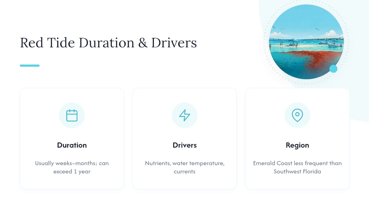
Destin and the Emerald Coast tend to see red tide less frequently and less severely than the Gulf Coast south of Tampa Bay, largely because of different current patterns and nutrient loads in the northern Gulf. That doesn’t mean the Panhandle is immune. Blooms do reach Okaloosa County waters, typically in late summer through fall when water temperatures peak, though isolated events have shown up outside that window too.
The Florida Department of Environmental Protection’s algal bloom resources note that bloom behavior is genuinely unpredictable year to year. A quiet summer with no reported impacts near Destin doesn’t guarantee the next season will be the same, and a bad bloom season elsewhere in Florida doesn’t mean Crab Island will see any effect at all.
The practical takeaway: don’t plan your trip around a general “red tide season.” Plan around the actual sample data for the week you’re traveling. A same-day check of the FWC map tells you more than any seasonal calendar could.
What to Do if Crab Island Has an Active Bloom
If the FWC map shows Medium or High cell counts near Destin Pass on the day you’re set to visit, you’ve still got good options nearby that don’t involve canceling the whole trip. Red tide impacts are localized, so a bloom affecting one stretch of coastline often leaves nearby waters clear.
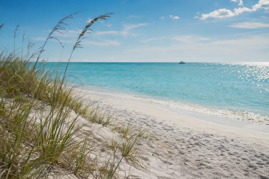
Check the sample map for alternate spots along the Emerald Coast before assuming the whole area is affected. Henderson Beach State Park and areas further west toward Navarre sometimes register clean samples even when Destin Harbor shows elevated counts, since local currents don’t distribute the bloom evenly.
If you’re set on being on the water, ask about a rescheduled boat tour instead of forcing the original date. Most reputable operators, including Crab-island-tours, would rather move your trip a day or two than send guests out into conditions likely to cause respiratory discomfort.
Land-based alternatives work too. Destin Harbor’s shops and restaurants, deep-sea fishing charters (which put you further offshore, often away from nearshore bloom concentrations), and inland activities like kayaking the calmer waters of the Choctawhatchee Bay all sidestep the issue entirely. For broader beach safety context beyond red tide, including how wind and current affect swimming conditions generally, the rip current safety guide for Panama City Beach is a useful companion read, since the same wind patterns that shape rip current risk also influence where a bloom ends up.
A Local Operator’s Take on Red Tide and Guest Safety
We check the FWC sample map every morning before the first boat leaves the dock, not just during obvious bloom seasons. If conditions turn Medium or higher near Destin Pass, we reschedule guests rather than run the trip as planned.
Book a Crab Island Tour With Red Tide Monitoring Built In
Renting your own boat means you’re the one staring at the FWC map at 6 AM trying to decide whether it’s safe to launch, with zero backup plan if conditions turn. Crab-island-tours removes that guesswork entirely: our captains check daily sampling data before every departure and reschedule trips when cell counts pose a real health risk, so you’re never the one making that call alone.
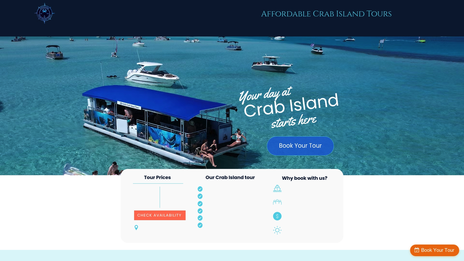
Every tour includes floats, an onboard restroom, and an experienced captain who already knows the current conditions around the sandbar, whether that’s red tide, wind, or boat traffic. You show up, we handle the logistics, and if a bloom moves in on your scheduled day, our team works with you on rescheduling rather than leaving you stuck with a wasted trip. Check available dates and book your Crab Island tour directly through Crab-island-tours to lock in a spot with a crew that’s already watching conditions for you.
Frequently Asked Questions
Is there red tide in Destin right now? Conditions change often, so check the FWC daily sample map for the most recent Okaloosa County readings before you travel.
What cell count counts as an official red tide bloom? Concentrations above 100,000 cells per liter fall into the Medium category, which is when respiratory irritation and fish kills become more likely.
Can I eat crab meat caught near Crab Island during a red tide? Yes, if the crab was alive and healthy when caught. Avoid the hepatopancreas (tomalley) and never eat anything found dead on shore.
Who should avoid Crab Island during an active bloom? People with asthma or COPD, young children, older adults, and pregnant people face higher respiratory risk and should limit time near affected water.
What should I do if I find a dead fish or distressed crab? Photograph it, note the GPS location, and report it to FWC rather than posting on social media or handling the animal yourself.
This article is general information, not a substitute for advice from a qualified doctor. Consult a qualified healthcare professional about your own circumstances before acting on anything here.
Sources
Recommended
Comments